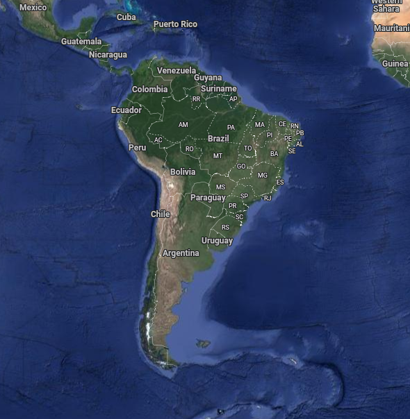
This page contains the links for all of the free LiDAR maps and aerial photography in South America. If you are searching for LiDAR some of the links will take you directly to a LiDAR hillshade view, in some others you will have to search through the ‘layers’ in order to find the LiDAR view and the rest provide LiDAR data for which you will need specific software (QGIS is a good example).
Open Source LiDAR Software
Some of the software is open source and takes a fair bit of effort to learn. In order to give visitors a start we have included a training page with download links and a few training videos for QGIS. If you have any problems or have knowledge of other links that you would like to see on this page please contact the admin of the Facebook group ‘LiDAR and Aerial Archaeology’.
Join the Community on Social Media

Credits: Google Maps