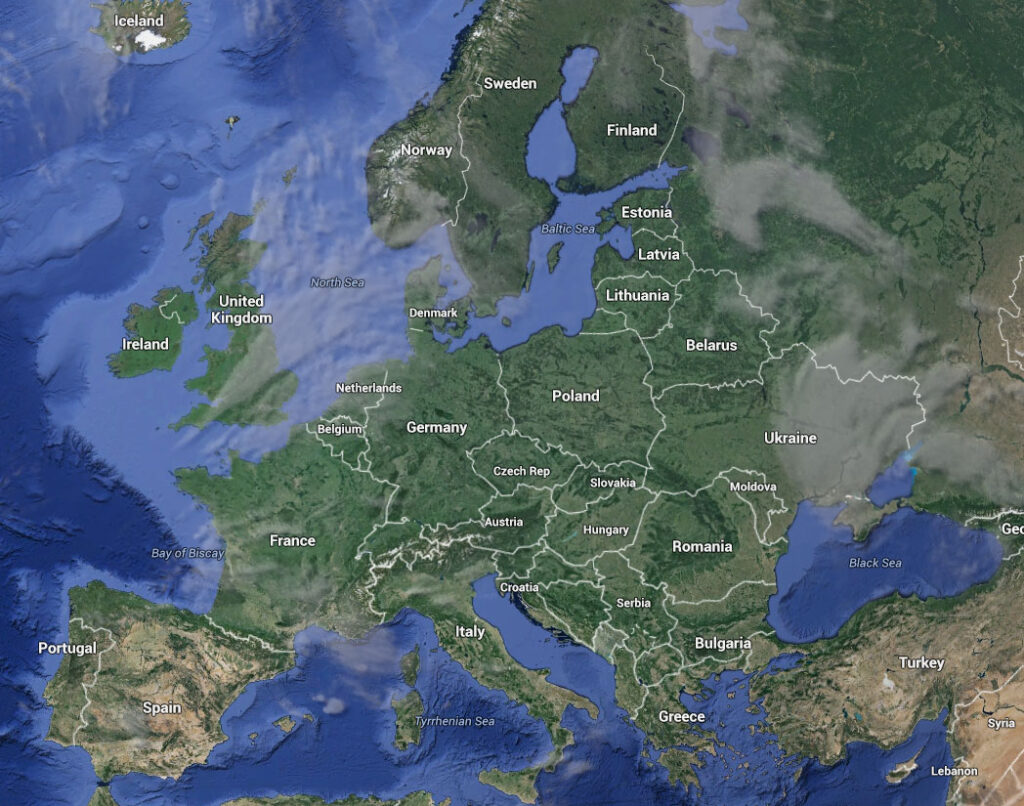
This page contains the links for all of the free LiDAR maps and aerial photography in Europe. If you are searching for LiDAR some of the links will take you directly to a LiDAR hillshade view, in some others you will have to search through the ‘layers’ in order to find the LiDAR view and the rest provide LiDAR data for which you will need specific software (QGIS is a good example).
Open Source LiDAR Software
Some of the software is open source and takes a fair bit of effort to learn. In order to give visitors a start we have included a training page with download links and a few training videos for QGIS. If you have any problems or have knowledge of other links that you would like to see on this page please contact the admin of the Facebook group ‘LiDAR and Aerial Archaeology’.
Join the Community on Social Media
UK/France/Ireland/USA LiDAR Liminarc
Austria Karnten Region LiDAR Land Karnten
Austria Pulkau Municipality aerial photography
Austria Salzburg Region LiDAR Sagis Info
Austria Steiermark Region LiDAR Darstellung
Austria Tirol Region LiDAR Laserscan Tirol
Austria Wien Region LiDAR Stadt Wien
Belgium Wallony LiDAR Geoportail
Belgium Aerial photography Dinamis
Belgium Flanders LiDAR Digitaal Vlaanderen
Britain Aerial Photography Cambridge Collection of Aerial Photography
Croatia aerial photography Bioportal
Croatia Aerial Photography Geoportal
Czech Republic Aerial photography MAPY
Czech Republic LiDAR Geoportal
Czech Republic LiDAR Geobrowser
England Aerial photography DEFRA
England Surrey LiDAR Surrey LiDAR Portal
England Jersey (Channel Island) LiDAR Jersey Heritage
England/Scotland/Wales/Ireland Cambridge University Collection Aerial Photography
England/Wales LiDAR LiDARmapuk
France LiDAR and Aerial photography TopoExport
Germany Bayern LiDAR Bayern Atlas
Germany Bavaria LiDAR Bavarian Surveying Administration
Germany Berlin LiDAR FIS Broker
Germany Bradenburg LiDAR Brandenburgviewer
Germany Bremen LiDAR Geoportal
Germany Hamburg LiDAR Transparency Portal Hamburg
Germany Rheinland-Pfalz LiDAR State Office for Geology and Mining
Germany North Rhine- Westphalia LiDAR Tim-Online
Germany Baden-Wurttemberg LiDAR Geoportal
Germany Hessen LiDAR Bodenviewer
Germany Hessen LiDAR Wind-Atlas
Germany Mecklenburg-Vorpommern LiDAR Geoportal
Germany Nordrhein-Westfalen LiDAR Geoportal
Germany Rhineland-Palatinate LiDAR GeoData
Germany Sachsen-Anhalt LiDAR Sachsen-Anhalt viewer
Germany Saarland LiDAR Geoportal
Germany Saxony aerial photography Geoportal
Germany Saxony LiDAR Geoportal
Germany Schleswig-Holstein LiDAR GeoDaten
Germany Thuringen LiDAR Thuringia Viewer
Greece Santorini LiDAR Open Topography
Hungary LiDAR Envirosense ***THIS RESOURCE CHARGES FOR ACCESS TO IMAGERY***
Hungary Aerial Photography EnviMAP
Italy LiDAR LiDAR Data in Europe
Italy Trento region LiDAR STEM-WEBGIS
Italy Sardegna Region LiDAR Sardegnamappe
Italy Sardinia Region LiDAR EU
Italy Sudtirol Region LiDAR GeoKatalog
Netherlands Aerial Photography and historic maps
Netherlands Aerial photography and castles
Northern Ireland LiDAR Opendata NI
Northern Ireland LiDAR Historic Environment Map Viewer
Northern Ireland/Scotland LiDAR AXE
Norway LiDAR Cultural Memorial
Portugal Aerial Photography Centro de Informacao Espacial
Republic of Ireland LiDAR Geological Survey
Republic of Ireand and Northern Ireland LiDAR AXE
Romania Aerial photography Harta
Scotland LiDAR Scottish Remote Sensing Portal
Slovakia Aerial Photography Nextgis
Slovakia LiDAR Slovakia Relief Explorer
Slovenia LiDAR Republika Slovenija
Spain LiDAR Instituto Geografico Nacional
Credits: Google Maps