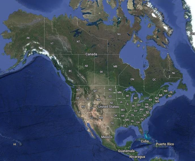
This page contains the links for all of the free LiDAR maps and aerial photography in North America. If you are searching for LiDAR some of the links will take you directly to a LiDAR hillshade view, in some others you will have to search through the ‘layers’ in order to find the LiDAR view and the rest provide LiDAR data for which you will need specific software (QGIS is a good example).
Open Source LiDAR Software
Some of the software is open source and takes a fair bit of effort to learn. In order to give visitors a start we have included a training page with download links and a few training videos for QGIS. If you have any problems or have knowledge of other links that you would like to see on this page please contact the admin of the Facebook group ‘LiDAR and Aerial Archaeology’.
Join the Community on Social Media
Canada LiDAR Government of Canada
Canada Quebec LiDAR Quebec Data Partnership
Canada Nova Scotia LiDAR Datalocator
Canada Nova Scotia LiDAR GeoNova
USA/Alaska/Canada/Mexico LiDAR USGS
USA Aerial Photography Landscape Explorer
USA Aerial Photography Historic Aerials
USA Alabama LiDAR Geologfical Survey of Alabama
USA Arkansas LiDAR Arkansas GIS Office
USA California LiDAR Northern California LiDAR Project
USA Carolina Bay LiDAR Carolina Bay Survey
USA Carolina (north) LiDAR Spatial Data
USA Connecticut aerial photography CT State Library
USA Colorado LiDAR Colorado Water Conservation Board
USA Hawaii LiDAR Hawaii Satewide GIS Program
USA Idaho LiDAR Idaho LiDAR Web Viewer
USA Indiana LiDAR Indiana Geographic Information Council
USA Iowa LiDAR Geospatial Data
USA Iowa LiDAR Geographic Map Server
USA Kansas LiDAR Kansas Biological Survey
USA Kansas Chase County LiDAR Kansas Biological Survey
USA Kansas Greenwood County LiDAR Kansas Biological Survey
USA Kentucky aerial photography KYFROMABOVE
USA Louisiana LiDAR Atlas LiDAR
USA Maryland LiDAR Maryland Gov
USA Massachusett LiDAR MassGIS
USA Eastern Nebraska LiDAR DCGIS
USA New Hampshire LiDAR GRANIT
USA New York LiDAR Discover GIS Data NY
USA Oregon LiDAR Dept of Geology and Mineral Industries
USA Pennsylvania Aerial photography PASDA
USA South Carolina LiDAR SCDNR
USA Utah Aerial Photography Utah Geological Survey
USA Vermont LiDAR Vermont Center for Geographic Information
USA Washington LiDAR Washington State Dept. of Natural Resources
USA West Virginia LiDAR WV Elevation and LiDAR
USA Winconson LiDAR WiDNR Open Data
USA Wisconson LiDAR Wetland Inventory LiDAR Viewer
USA Wisconson aerial photography WHAIFinder
Credits: Google Maps